


An earthquake measuring 4.8 on the Richter scale was recorded on 12 January at 9:29 pm, close to the mouth of the Yangon River in the Gulf of Martaban. Three aftershocks were also recorded, according to the Myanmar Earthquake Committee's Facebook page.
The aftershocks registered 4.0, 3.6 and 2.8, with the latter occurring on Myanmar's mainland.
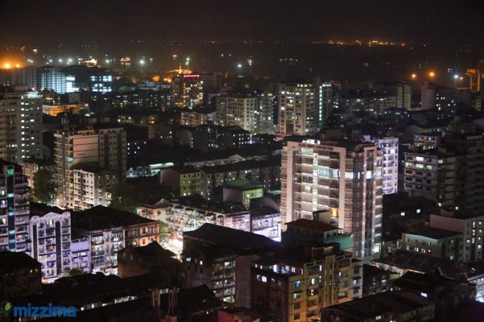
Following the quakes, Yangon plunged into darkness for roughly two hours, with many jumping on to social media reporting the minor shaking. This is the second quake in a week to hit the country.
A 6.4 quake occurred on 4 January in India's Manipur state with tremors affecting Myanmar's Sagaing Region and Chin State.
Myanmar's Sagaing fault line enters the country through the Gulf of Martaban in the south and extends through the heartland of the country within range of major cities and the capital Naypyitaw. It then exits into the Himalayas to the north of the country.
As the country emerges from years of military dictatorship groups are scrambling to finalise building codes and raise public awareness on the dangers that earthquakes pose to Myanmar. Still, very little has been done.
In 2011, a 6.9 quake in north-eastern Shan state killed 75.
This is by no means the largest quake to affect the country; in 1930, a 7.3 quake occurred 37km south of Bago killing 500 people in Bago and 50 in Yangon.
As of 1931 Yangon had a population of 400,000, Yangon now has a population of 5,209,541 and rising, a quake of similar intensity and distance would cause widespread death and destruction.
Minor tremors highlight major troubles