


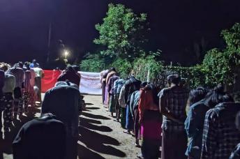


Manipur is likely to lose a large chunk of its land to neighbouring Myanmar if the so-called security fencing or border fencing resumes without locating the exact old border pillars erected by both countries years ago, according to Indian news services, February 27.
In a joint survey conducted by the Information Centre for Hill Areas, Manipur (ICHAM) from February 22 to 24 with villagers along the international border areas of Tengnoupal block of Chandel district, it was found that many of the newly erected border pillars were set up deep inside the Indian territory, reports the Sangal Express.
Among the villages in border areas of Tengnoupal block, Nongam Satang village (73 kms away from the State capital along Imphal-Moreh road) is one of the villages where the old border pillar number 17 was installed by the Indian and Myanmar authorities after a survey conducted from 1967 to 1973.
The Myanmar and Indian authorities are said to be cooperating over the issue. The potential changes could see Indian villagers finding themselves on Myanmar territory.
India’s Manipur State could lose territory to Myanmar